
Description
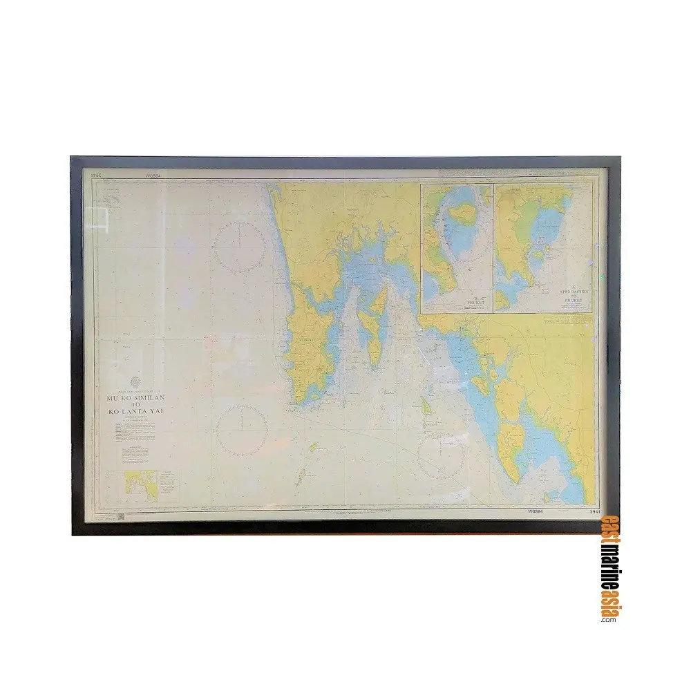
British Admiralty Framed Nautical Chart #3941 Mu Ko Similan to Ko Lanta Yai (Phuket Island)
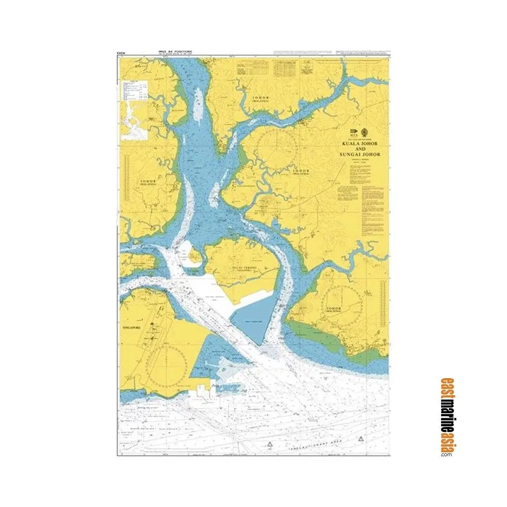
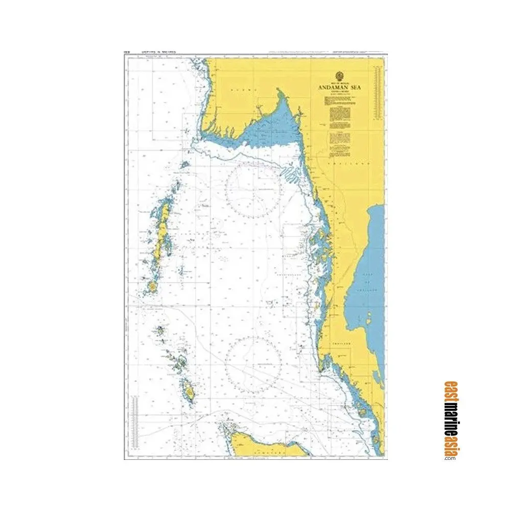
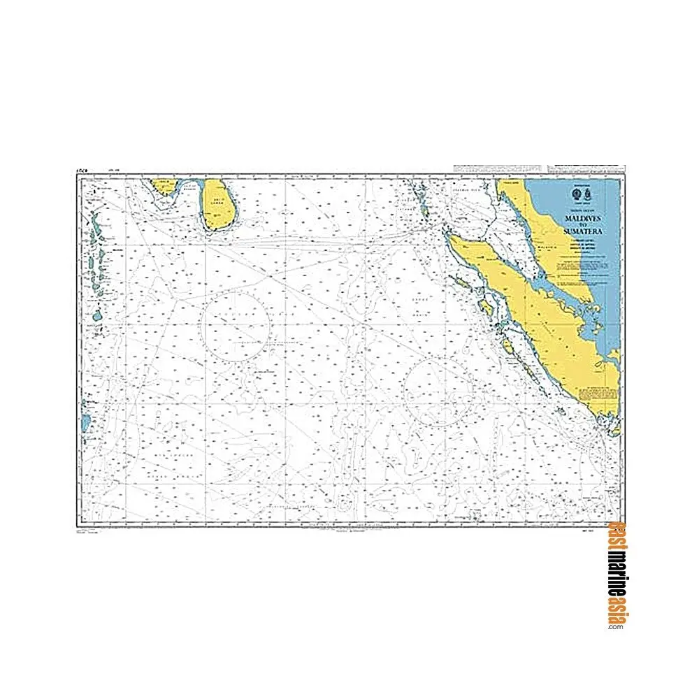
British Admiralty Nautical Charts are nautical charts issued by the United Kingdom Hydrographic Office (UKHO). Over 3,500 Standard Nautical Charts (SNCs) are available with the Admiralty portfolio offering the widest official coverage of international shipping routes and ports, in varying detail.
If you cannot find your chart at here, please contact us and we will get back to you for availability and lead time as soon as possible.
Explore more from our collection.
Reviews
There are no reviews yet.